
Digital Twin Spatial Data Processing Center
The Digital Twin Spatial Data Processing Center includes multiple data processing toolkits. Through spatial data lightweight technology, AI, and other technologies, it provides closed-loop spatial data solutions.
- Efficient compression and optimization of online and offline model data
- Support for multi-format data including 2D, 3D, and panoramic.
- Open data conversion capabilities for easy data sharing.
- AI-based technology to unlock more value from data.
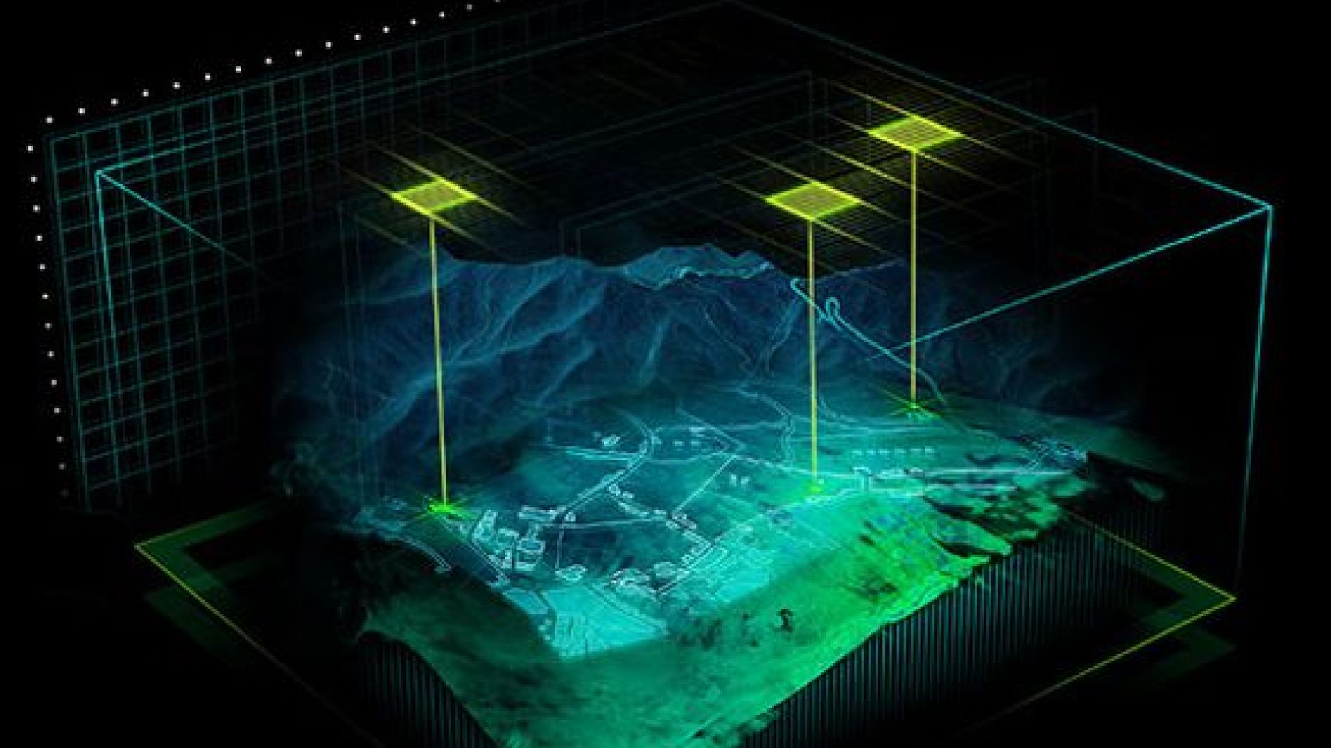
Digital Twin Service Infrastructure
As the foundation for building digital twin applications, the Digital Twin Service Infrastructure enables centralized management of spatial data, IoT data, and third-party services. It also provides professional service and analysis capabilities.
- Dual-engine services: lightweight WEBGL and high-fidelity cloud rendering.
- Construction of a multi-source integrated data lake to replicate real-world information.
- End-to-end process management covering file data, service resources, and twin scenarios.
- Full-chain data security protection mechanisms to ensure your data security.

Digital Twin Development Client
The Digital Twin Development Client supports two technical routes: WEBGL and cloud rendering. It enables easy construction of digital twin applications based on business needs.
- Beyond high-fidelity visualization, it offers physical simulation, spatial computing, and interactive control capabilities.
- Rich API interfaces to simplify development processes and improve efficiency.
- Optimization for industry-specific needs to meet diverse digital twin project requirements.
- Seamless integration with multiple mainstream development frameworks to lower technical barriers for development.
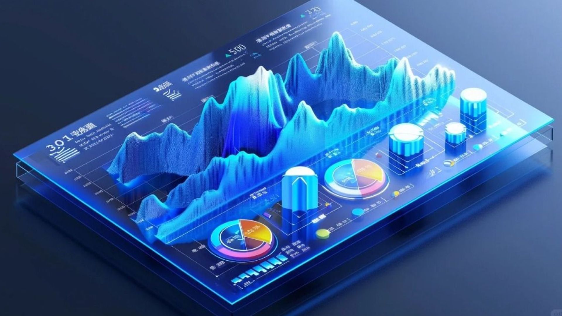
Digital Twin Visualization BI
The Digital Twin Visualization BI is a modular, configurable, dynamic-static integrated visualization intelligent terminal based on spatial elements.
- Intuitive drag-and-drop editing for flexible layout, multi-terminal adaptation, and WYSIWYG (What You See Is What You Get) functionality.
- Rich visualization components including maps, charts, indicators, and devices.
- Support for accessing multi-source data such as Excel data, service data, and IoT data.
Solutions

Call me
My location:
FLAT/RM 313,BLK 3E 3/F, WIRELESS CENTRE PHASE ONE, HONG KONG SCIENCE PARK,PAK SHEK KOK,NT


Copyright © Geosys Hong Kong Limited