
No reconstruction experience needed
A guided browser workflow for non-specialists, with no desktop modelling software to install.
Upload photos or video, reconstruct in the browser, and get a 3D model and point cloud.
OVERVIEW
GeoCapture is a browser-based reconstruction tool for people without photogrammetry or modelling experience. Upload a photo set or a video, choose the frames to include, and run 3D reconstruction.
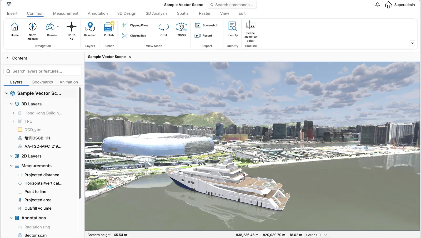
The output is a 3D model and point cloud, ready to publish into a GeoTwin scene and reuse across projects.
CAPABILITIES
A guided browser workflow for non-specialists, with no desktop modelling software to install.
Upload a photo set or a video and select the frames that should take part in reconstruction.
A single run produces both a 3D model and a point cloud for publishing and measurement.
Results can be published to GeoTwin Server and opened in a scene.
Start your digital twin
We can arrange a demo around your data and deployment conditions.