
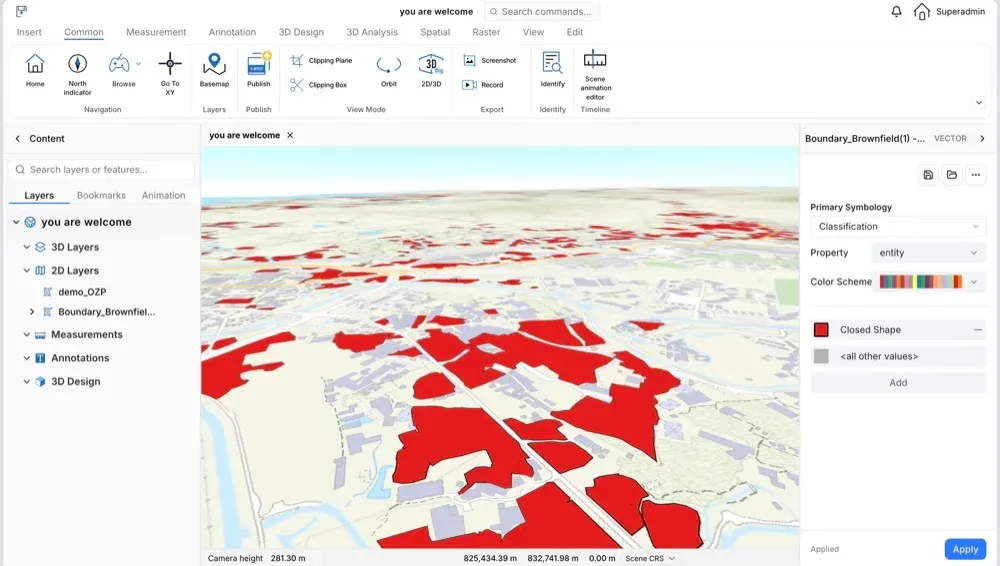
 01
Industry solution
Smart Data Management
Centralised management of UAV photogrammetry data for teams across different departments.
View solutionSOLUTIONS
One spatial intelligence foundation, connected to each industry's data and tools, bringing agents into cities, parks, sites and emergency scenes.
01Centralised management of UAV photogrammetry data for teams across different departments.
View solution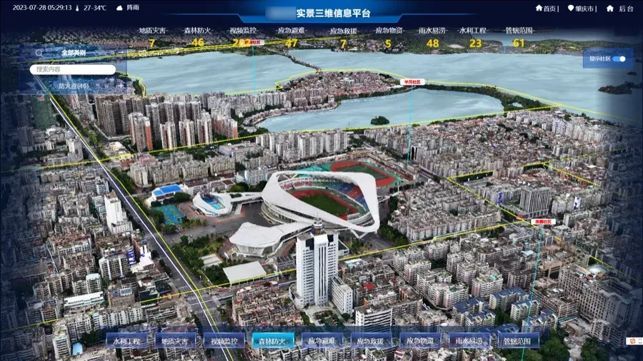 02
A digital twin city built on GIS, BIM and IoT, with urban data connected in one view.
View solution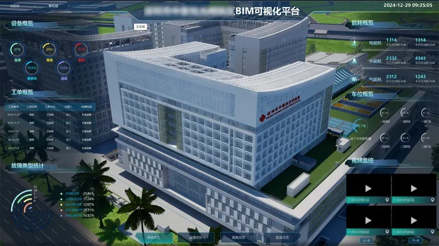 03
Facilities, security and operations of a park connected to one twin scene.
View solution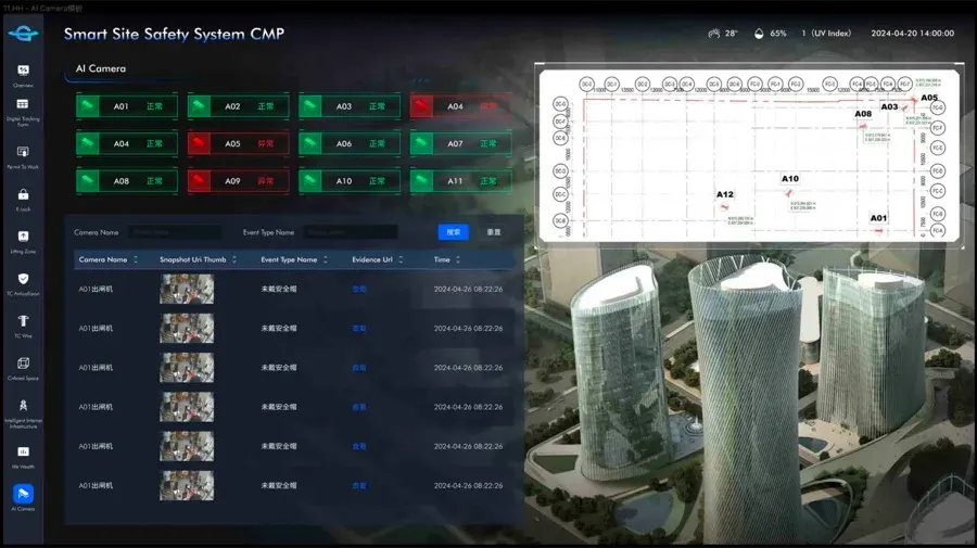 04
Visual, data-driven management of construction progress, people, safety and environment.
View solution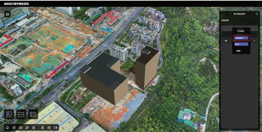 05
Multi-source spatial data connected across a city’s history, present and plans.
View solution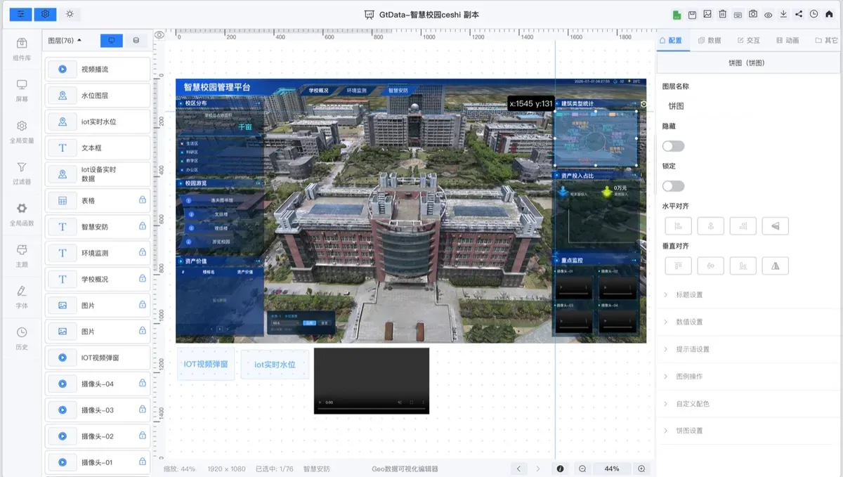 06
Building structures, floors and equipment modelled for operations and maintenance.
View solution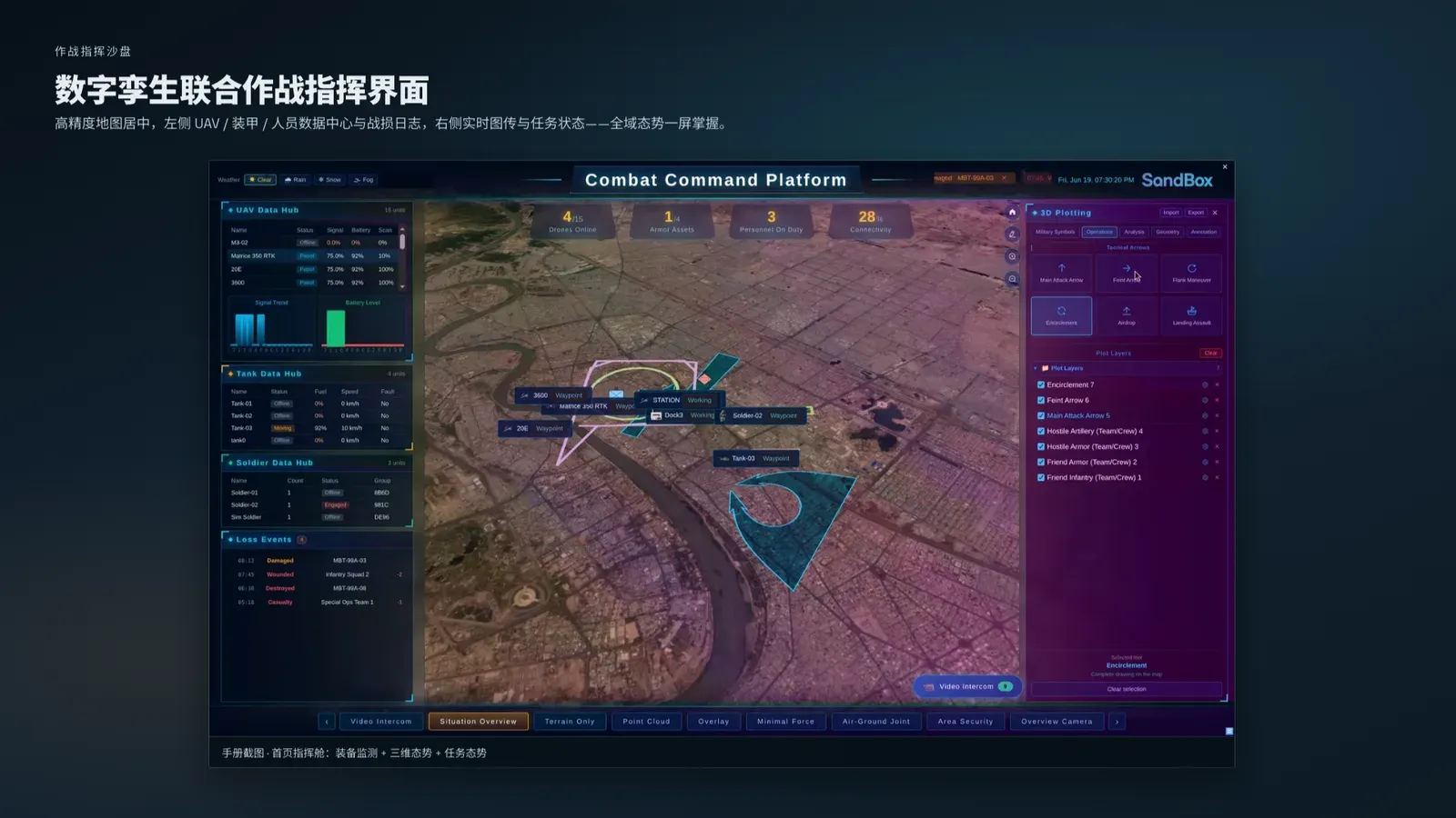 07
Emergency scenarios modelled for preparation, simulation and plan design.
View solutionSCENES
Real GeoTwin and GeoFly interfaces across city, construction and emergency scenarios.
Start your digital twin
The platform connects through data and devices; we can map your scenario together.