
Multi-source spatial data
Base maps, oblique photography, BIM and point clouds in one scene.
Multi-source spatial data connected across a city’s history, present and plans.
OVERVIEW
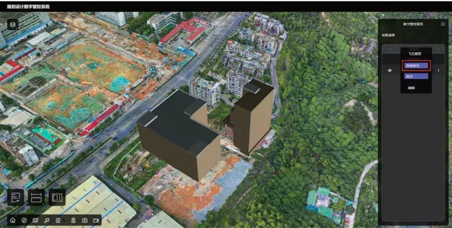
The Smart Planning system integrates urban base maps, oblique photography, BIM and point clouds, connecting the information chain of urban history, current status and planning.
It provides planning modules, simulates and predicts urban development, and supports the optimisation of planning schemes.
CAPABILITIES
Base maps, oblique photography, BIM and point clouds in one scene.
Modules for the planning process rather than a single map view.
Models urban development processes to compare options.
Supports decisions with spatial evidence.
Start your digital twin
We can arrange a targeted demo around your data, devices and workflow.